
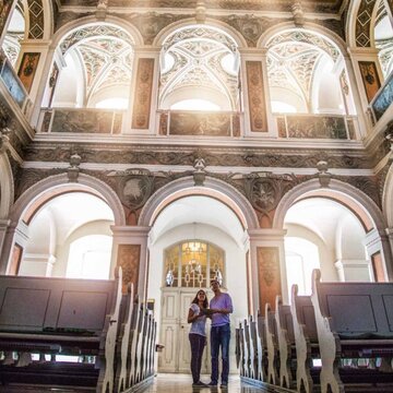
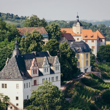
Urlaub in Saale-Unstrut
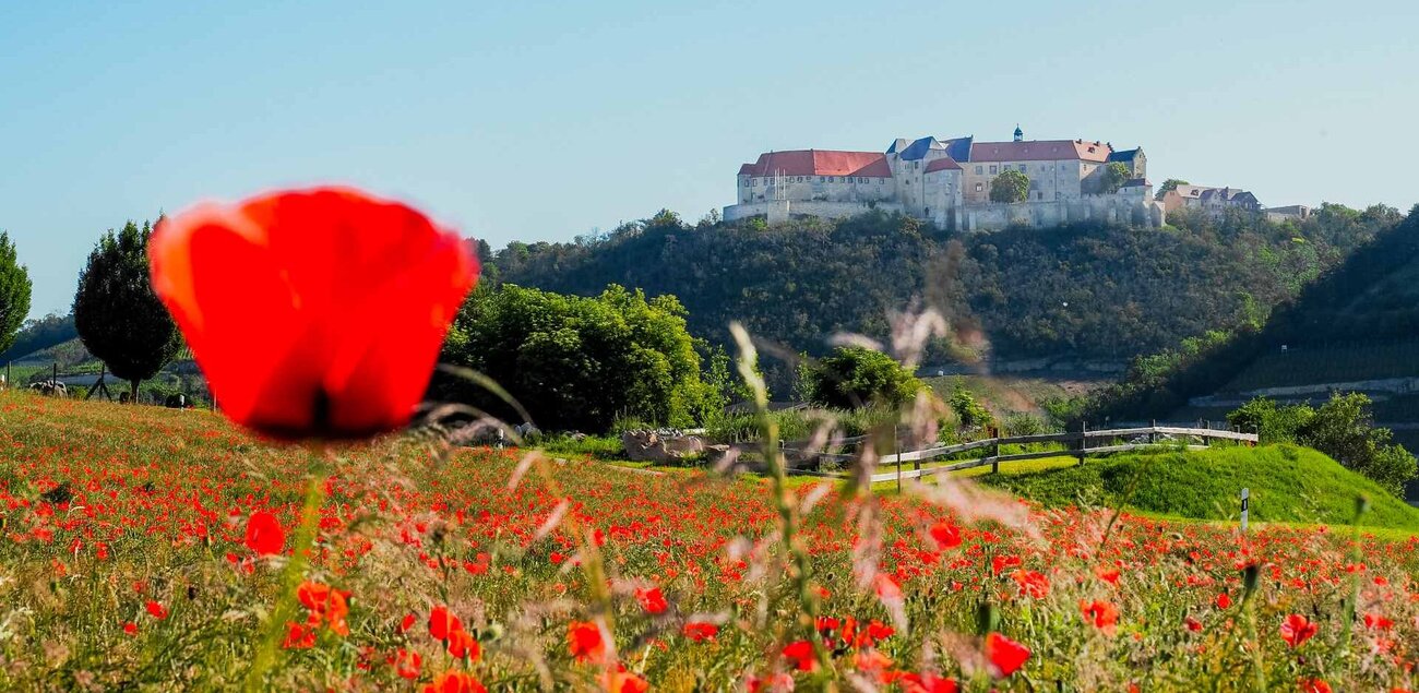
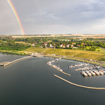
Urlaub in der Region Saale-Unstrut bietet facettenreiche Erlebnisse. Für Wanderer und Radfahrer ebenso wie für Kultur- und Weinliebhaber. Das sonnenreiche Weinanbaugebiet zwischen den Flüssen Saale, Unstrut, Weiße Elster und Ilm offeriert liebliche Landschaften historische Orte, architektonische Schätze, gelebtes Brauchtum und eine lebendige Kultur.
Lage und Anreise
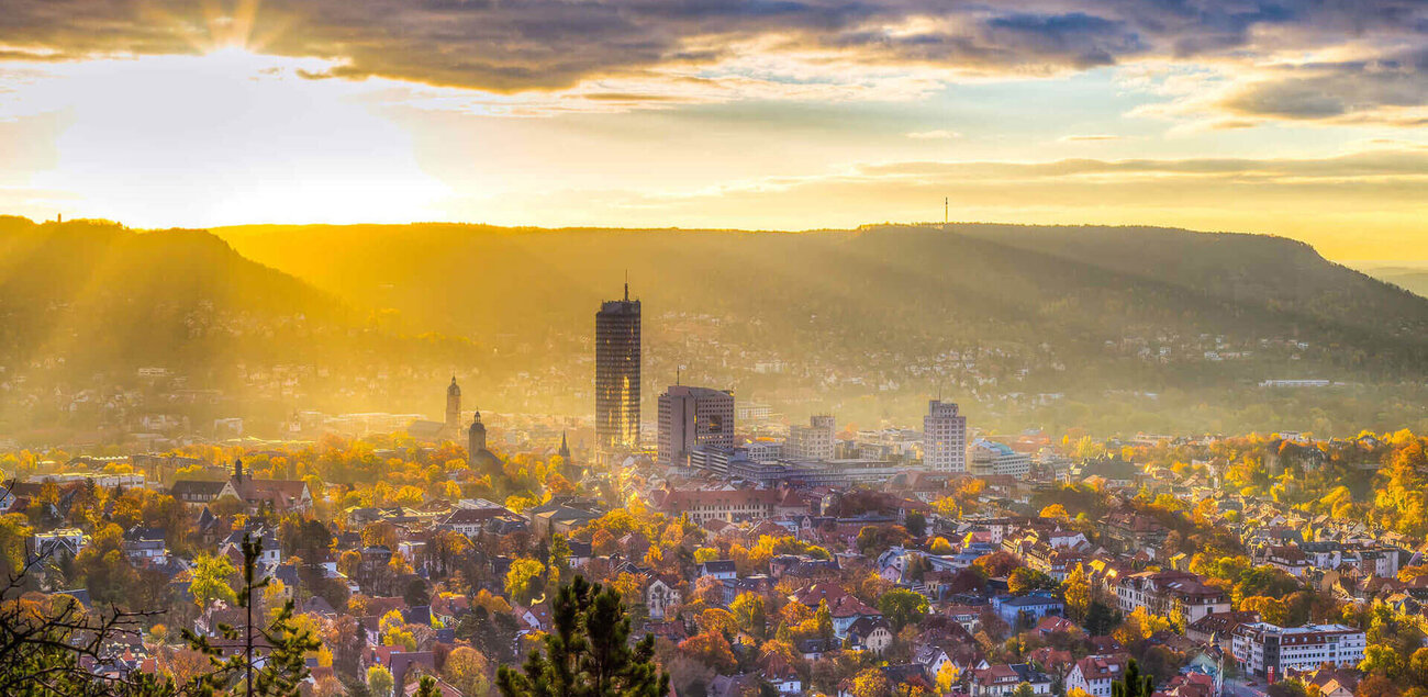
Saale-Unstrut bietet eine unschlagbare Kombination von prägender deutscher Kulturgeschichte und facettenreichen Naturlandschaften. Zudem besticht die Region durch ihre zentrale Lage in der Mitte Deutschlands. Sie ist sowohl klima- und umweltfreundlich mit der Bahn erreichbar, als auch mit dem PKW über ein dichtes, gut ausgebautes Straßennetz. In unmittelbarer Nähe bestehen zudem Anbindungen an die beiden Flughäfen Leipzig/Halle oder Erfurt-Weimar.

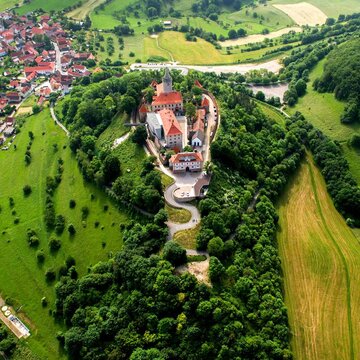
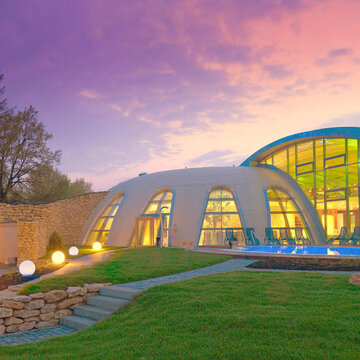
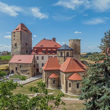
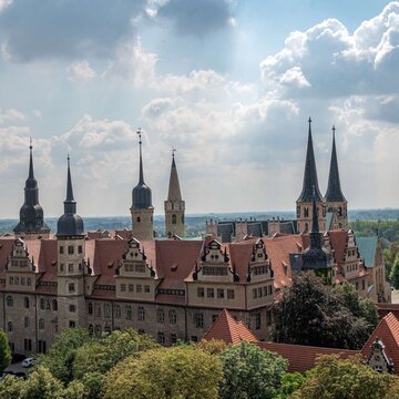
Sehenswertes in Saale-Unstrut

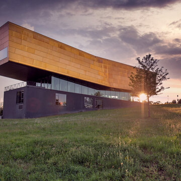


Veranstaltungen und Events
Ein bunter Reigen aus unterschiedlichen Veranstaltungen erwartet Sie während Ihres Urlaubs in Saale-Unstrut. Ob Hof- und Winzerfeste, Schlosskonzerte in Merseburg, Kabaretts oder moderne Musik in der Rotkäppchen Sektkellerei in Freyburg.


