Tour dates
medium
137.2 km
09:16 h
79 m
293 m
697 m
613 m
medium
137.2 km
09:16 h
79 m
293 m
697 m
613 m
Height profile
Description:
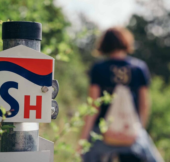
On this route you cycle along the old salt road through Saxony-Anhalt.
The Salt Road used to connect the salt mines in the area, places where salt was mined and which were also major trading centres.
The trail connects the Elsterradweg near Schkeuditz with the Harzrundweg near Uftrungen.
The Salt Road Cycle Route in Saxony-Anhalt runs through the south of the state, from the state border with Saxony on the Elster Cycle Route near Schkeuditz via Merseburg to the
On this route you cycle along the old salt road through Saxony-Anhalt.
The Salt Road used to connect the salt mines in the area, places where salt was mined and which were also major trading centres.
The trail connects the Elsterradweg near Schkeuditz with the Harzrundweg near Uftrungen.
The Salt Road Cycle Route in Saxony-Anhalt leads through the south of the state, from the state border with Saxony on the Elster Cycle Route near Schkeuditz via Merseburg to the Geiseltalsee, via Mücheln, Nebra (cheeks), the site where the sky disc was found, on the Mittelberg and through the Ziegelroda Forest; further via Allstedt near Sangerhausen, Tilleda on the Kyffhäuser to Uftrungen on the Harz Circular Route.
The salt road crosses the Saaleradweg in Merseburg, the Unstrutradweg at Karsdorf and Nebra, the Goetheradweg in Weischütz and Burgscheidungen, and the Kyffhäuser Rundweg in Tilleda and Kelbra.
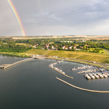
More info: From the 40th km of the tour the salt road leads approx. 8 km through Mücheln. First it runs from the cycle path through a tunnel that leads under the viaduct to the market to the marina. Then you get to the landscape and castle park to the Geiselquelle further in the direction of Albersroda.
Read more
- Difficulty: medium
- Condition: medium
- Suitable for cyclingCulturally interestingRefreshment stopSafety Instructions:
Tour itinerary:
Contact:
County Saalekreis
Cathedral square 9
06217 Merseburg
Phone: +49 34632 / 40-4444
E-mail: radwege@saalekreis.de
website: http://www.saalekreis.de/
06217 Merseburg
Phone: +49 34632 / 40-4444
E-mail: radwege@saalekreis.de
website: http://www.saalekreis.de/
You might also be interested in this
Müchelholz circular trail
Schweigenberg - circular route
Mill hiking trail Geiseltal